
HistoryShift
HistoryShift
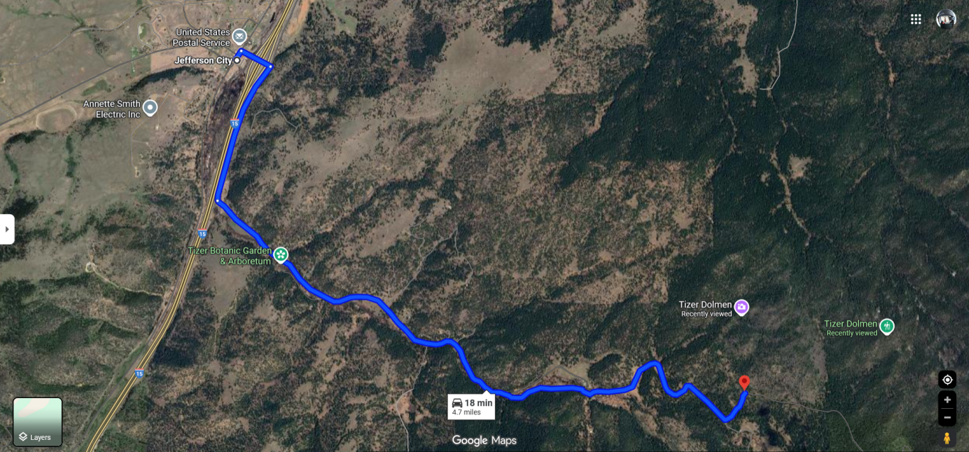
The directions are starting from Jefferson City, Montana. Jefferson City can be found south of Helena on I-15, and North of Boulder on I-15. When you get to Jefferson City you are going to head northeast on S. Main toward Spring St. Turn right on Spring Street. In a little less than a mile turn right on to Highway 282. As the road curves to the right it becomes Tizer Lake Road.
Keep following this road until for about 5 miles, when you get to the spot marked on the map you have to find a spot to park off the road. The coordinates listed below are near where you need to park, and start the hike.
46.36280863697045, -111.97094535330346
Tizer Dolmen hike starting point and parking spot.
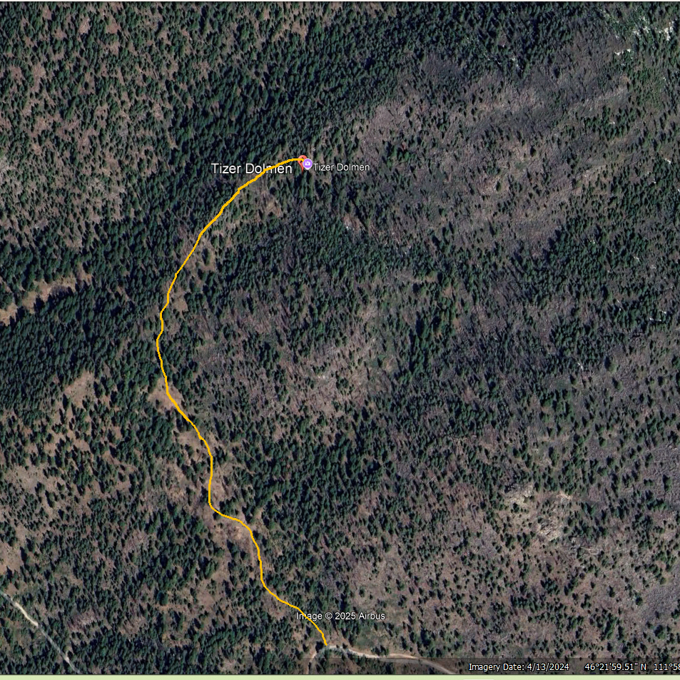
From this starting point you can roughly follow the yellow on the map the get to Tizer Dolmen.
46.36918483646448, -111.97109019259129
Coordinates for Tizer Dolmen (roughly, you can’t miss it.
All the maps and images are oriented so that north is toward the top edge of the map, or up.
Tizer Dolmen can also be found on Google Maps by searching for Tizer Dolmen, Jefferson City.
We need your consent to load the translations
We use a third-party service to translate the website content that may collect data about your activity. Please review the details in the privacy policy and accept the service to view the translations.